Circle Does, Field Notes, Suggestions for Students
Circle Does: Geographic Information Systems (GIS)
GIS stands for Geographic Information System, which, admittedly, doesn’t sound very exciting at first glance. But behind the name is a powerful tool that helps archaeologists plan fieldwork, manage data, and protect cultural sites. We sat down with Kristine, our GIS Specialist, and she walked us through what GIS is, how it’s used in archaeology, and why it plays such an important role in the work we do at Circle! Let’s dig in:
What is GIS?
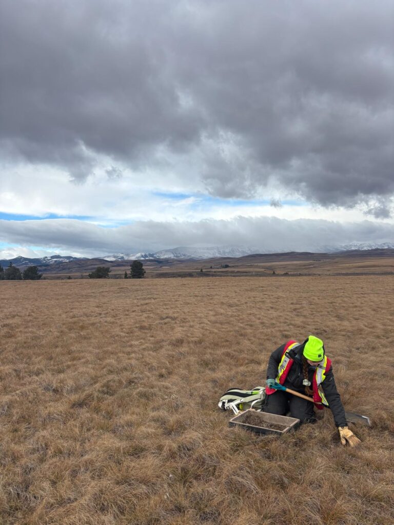
Geographic Information System (GIS) allows you to visualize data in the format of maps. It is a very powerful analysis tool: you can use GIS to determine the best place to open a new store, plan bus routes, determine how much deforestation a proposed road would cause, or even visualize the effects of flooding. Without GIS, we would not know where we are going in the field. It helps us plan our routes, determine which areas have a high archaeological potential, and enables us to efficiently and effectively collect data in the field.
There are many types of GIS software, the most common being ArcGIS Pro or QGIS. I’ve personally only used Esri’s GIS products, such as ArcMap, ArcGIS Pro, ArcGIS Online, and Field Maps & Survey 123, but I’ve heard a lot of great things about QGIS, which is an openly available program.
GIS can also help visualize data in an easy-to-digest format. Sometimes, it’s a nice change of pace to view information visually on a map rather than scrolling through an endless Excel spreadsheet, and it can allow you to see the patterns of various features as they are laid out visually.
Several different types of maps may aid with this: there are flat static maps, such as our final report maps, which get exported as a PDF layout, and there are dynamic maps, such as the maps our permit holders and supervisors can use to plan out their shifts. With a dynamic map, the user can scroll around, click on features to view their attribute information, or see how they relate to other features. This field season, we created a dynamic wildfire map for Alberta so our permit holders could plan their shifts to avoid going to areas with active wildfires.
What are your main responsibilities as a GIS specialist?
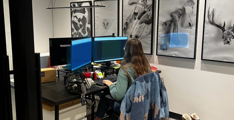
As a GIS specialist here at Circle, I manage all of our GIS Data for BC, which includes making all of our report maps, site maps, field maps, and client maps. I also dabble in the Alberta side of things when I’m needed, which includes all of the previously-mentioned maps but done up to the Alberta provincial government standards, digitizing target areas after one of our permit holders perform the desktop assessment, and finalizing spatial data for submission.
What is the main goal of GIS in archaeology?
The main goal of GIS in archaeology is to capture accurate and reliable data to assist in resource management and to preserve our history. Without accurate data, we can’t protect the sites we find while in the field. Nothing is worse than doing a site revisit and discovering that a site was marked incorrectly, leaving us struggling to relocate it.
Can you describe a project that you are particularly proud of?
I am particularly proud of my capstone project from when I was in school. It was a culvert asset management platform, where we did stream flow analysis, image classification, hazard management/mitigation, weighted suitability modelling using scripting, and developed field forms using field maps to inspect culverts in the field according to BC safety standards. It was a very challenging and robust project, but I had a great team to work with.
How did you get into your current role?
I took my first GIS class at the University of Calgary during my archaeology undergrad. One of my first-year professors mentioned that it’s good to have a GIS class under your belt because of all the mapping involved in our field. I had never heard of GIS before that, but after taking my first class, I realized that I really liked it, and took every GIS class U of C had to offer. After I finished my archaeology degree, I decided I wanted to pursue GIS as a career. SAIT has a really great program: you need a minimum of two years’ background in something else before you can get in, and a lot of people in my class first took geomatics. Then, it’s a two-year program with one year in school and a second year spent as an internship. I figured this program would be a great way to get hands-on experience in the field, and I learned so much. 10/10, would recommend the program at SAIT for its small class sizes and teachers who all genuinely care about giving you the tools to succeed in this field.
Back in my archaeology undergrad, someone from Circle did a talk on CRM at the university. That was my first time being introduced to the CRM industry and Circle as a company. I thought that I would apply to Circle after I graduated from my undergrad, but instead, I went back to school for GIS. It just worked out that I ended up here after all of that, as I had sort of figured I would go fully into GIS and not step back into the world of archaeology.
When I first started with GIS, I really liked remote sensing, image classification, hazard mitigation, and asset management. My goal was to end up working for some sort of environmental company. I think I ended up exactly where I needed to be, because I get to use both of my degrees, and while I’m not doing hazard mitigation, I am still doing my part in CRM to protect these sites.
What are your least and most favourite aspects about your current role/GIS in general?
I love that every map I make is different, it helps to keep the day fresh and interesting. One of my least favourite things is when data is incorrectly projected; it’s a very easy fix, but it’s just a smidge annoying.
A fun goal I have over the winter is to create a weighted cost analysis script to help filter out areas of lower arch potential for when we do our desktop assessment of project areas.
Curious to learn more?
If you’re curious to learn more about GIS, archaeology, or the work we do at Circle, be sure to explore our other blog posts or follow along as we share more insights from our team. Have questions or want to know more about how GIS supports CRM projects? We’d love to hear from you.
Reach out anytime: info@circleconsulting.ca or 403.984.8189
Written by Kristine Hubenig
SHARE THIS:


